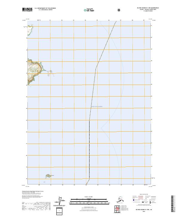
2024 Map of Blying Sound D-1 NW
USGS Topo · Published 2024About this map
The northern tip of Montague Island dominates the western edge of this coastal survey, where the terrestrial environment of the Chugach National Forest meets the open waters of the Gulf of Alaska. The landscape is characterized by prominent maritime landmarks such as Box Point and the offshore Box Island, which serve as navigational anchors along this part of the Kenai Peninsula coastline. In the southern reach of the sheet, the isolated Fish Island sits at the edge of the maritime boundary, illustrating the scattered archipelago nature of this subarctic wilderness.
Find a feature on this map
8 named features on this map. Tap any name to fly to it.
Don’t see what you’re looking for? This feature index may not catch every label — zoom into the map to look around manually.
Map Details
Editions of this 2024 Blying Sound D-1 NW Map
This is the sole edition of this map. No revisions or reprints were ever made.
Other maps of this area

1946 · Blying Sound
USGS Topo · 1:250,000

1951 · Blying Sound
USGS Topo · 1:250,000

1951 · Seward
USGS Topo · 1:250,000

1951 · Seward A-2
USGS Topo · 1:63,360

1951 · Blying Sound D-1 and D-2
USGS Topo · 1:63,360

1951 · Seward A-1
USGS Topo · 1:63,360

1953 · Seward A-2
USGS Topo · 1:63,360

1953 · Seward A-1
USGS Topo · 1:63,360
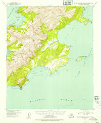
1953 · Blying Sound D-1 and D-2
USGS Topo · 1:63,360

1953 · Blying Sound
USGS Topo · 1:250,000