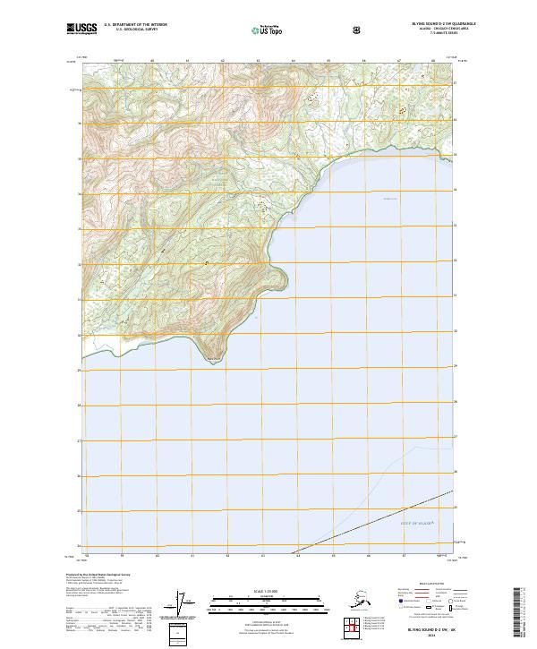
2024 Map of Blying Sound D-2 SW
USGS Topo · Published 2024About this map
The Chugach National Forest meets the open waters of the Gulf of Alaska on this coastal Alaska sheet, where the landscape is defined by the intersection of protected wilderness and the sea. The shoreline is punctuated by Jeanie Cove and the prominent southern landform at Neck Point, marking a transition from the dense, mountainous terrain of the interior to the maritime environment. Within the Alaska Maritime National Wildlife Refuge, several drainages including Deception Creek, Strike Creek, and the aptly named Tortuous Creek carve through the steep topography to reach the coast. These features suggest a dynamic hydrologic system where seasonal runoff from the uplands interacts with the tidal influences of the gulf, creating a complex habitat for local wildlife.
Find a feature on this map
14 named features on this map. Tap any name to fly to it.
Don’t see what you’re looking for? This feature index may not catch every label — zoom into the map to look around manually.
Map Details
Editions of this 2024 Blying Sound D-2 SW Map
This is the sole edition of this map. No revisions or reprints were ever made.
Other maps of this area

1946 · Blying Sound
USGS Topo · 1:250,000

1951 · Blying Sound
USGS Topo · 1:250,000

1951 · Blying Sound D-1 and D-2
USGS Topo · 1:63,360
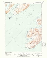
1953 · Blying Sound D-3
USGS Topo · 1:63,360
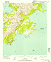
1953 · Blying Sound D-1 and D-2
USGS Topo · 1:63,360

1953 · Blying Sound
USGS Topo · 1:250,000
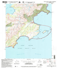
1995 · Blying Sound D-1 and D-2
USGS Topo · 1:63,360
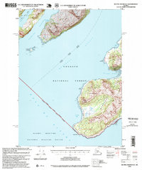
1995 · Blying Sound D-3
USGS Topo · 1:63,360
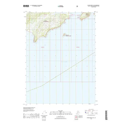
2018 · Blying Sound D-2 SE
USGS Topo · 1:25,000
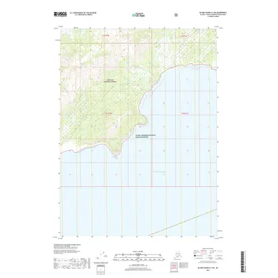
2018 · Blying Sound D-2 SW
USGS Topo · 1:25,000