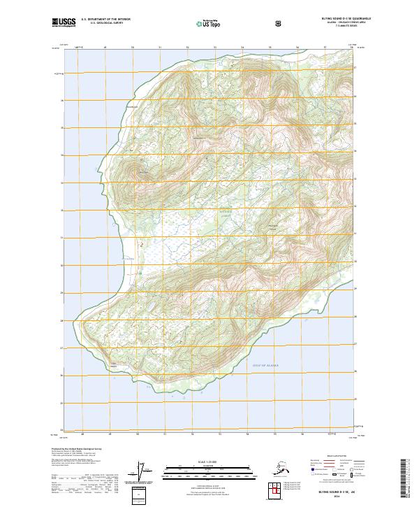
2024 Map of Blying Sound D-3 SE
USGS Topo · Published 2024About this map
Montague Island is defined by its dramatic relief and steep coastal transitions in this 2024 topographic study. High points like Jeanie Peak and Stair Mtn dominate the northern interior, with the terrain falling sharply toward the west coast at Point Bryant. This area is largely managed as part of the Chugach National Forest, illustrating a landscape nearly devoid of modern human infrastructure and instead dedicated to conservation. Along the southern shoreline, the Alaska Maritime National Wildlife Refuge encompasses the southern tip of the island near Cape Cleare, protecting the interface between the land and the Gulf of Alaska. Small hydrologic features like Deception Creek and the sheltered waters of San Juan Bay provide the only breaks in the rugged coastal profile, marking a wilderness area that has remained geographically isolated into the twenty-first century.
Find a feature on this map
15 named features on this map. Tap any name to fly to it.
Don’t see what you’re looking for? This feature index may not catch every label — zoom into the map to look around manually.
Map Details
Editions of this 2024 Blying Sound D-3 SE Map
This is the sole edition of this map. No revisions or reprints were ever made.
Other maps of this area

1946 · Blying Sound
USGS Topo · 1:250,000

1951 · Blying Sound
USGS Topo · 1:250,000

1951 · Blying Sound D-1 and D-2
USGS Topo · 1:63,360
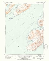
1953 · Blying Sound D-3
USGS Topo · 1:63,360
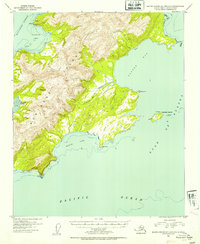
1953 · Blying Sound D-1 and D-2
USGS Topo · 1:63,360

1953 · Blying Sound
USGS Topo · 1:250,000
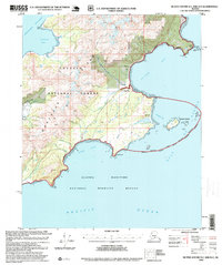
1995 · Blying Sound D-1 and D-2
USGS Topo · 1:63,360
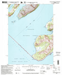
1995 · Blying Sound D-3
USGS Topo · 1:63,360
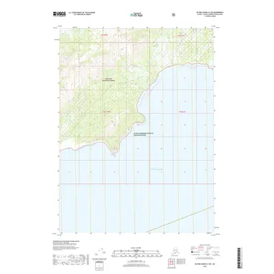
2018 · Blying Sound D-2 SW
USGS Topo · 1:25,000
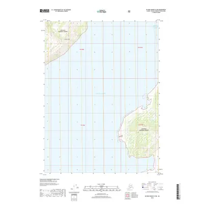
2018 · Blying Sound D-3 NE
USGS Topo · 1:25,000