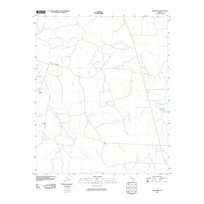
2010 Map of Bob Creek
USGS Topo · Published 2010About this map
Gilkerson Cemetery serves as a lone memorial to early settlement in this corner of King County, located along the north-south path of Carothers road. The landscape is defined by the drainage of Bob Creek as it winds southward toward the Salt Fork Brazos River, which forms the southern boundary of the map. Ranching activity is evident through the inclusion of the Martin Ranch and various water management features essential for livestock in this semi-arid environment. Numerous named reservoirs and dams, such as Springer Lake, Parramore Ranch Lake, and Brushy Tank, illustrate the local reliance on surface water storage. Minor drainages like Pen Branch and Brushy Creek further detail the local topography, while cattle operations are linked by a network of county roads including Co RD 448 and Co RD 431.
Find a feature on this map
16 named features on this map. Tap any name to fly to it.
Don’t see what you’re looking for? This feature index may not catch every label — zoom into the map to look around manually.
Map Details
Editions of this 2010 Bob Creek Map
This is the sole edition of this map. No revisions or reprints were ever made.
Other maps of this area

1954 · Lubbock
USGS Topo · 1:250,000

1958 · Southerland Canyon
USGS Topo · 1:24,000

1958 · Seven Diamond L Canyon
USGS Topo · 1:24,000

1958 · Lovers Resort
USGS Topo · 1:24,000

1959 · Bob Creek
USGS Topo · 1:24,000

1967 · Dark Canyon
USGS Topo · 1:24,000

1967 · Kiowa Peak NW
USGS Topo · 1:24,000

1967 · Kiowa Peak SW
USGS Topo · 1:24,000

1968 · Guthrie
USGS Topo · 1:24,000

1968 · Pitchfork Flats
USGS Topo · 1:24,000