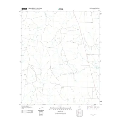
2012 Map of Bob Creek
USGS Topo · Published 2012About this map
King County’s ranching landscape is defined by the ephemeral water sources and drainage networks that crisscross this West Texas terrain. The 2012 survey highlights the importance of managed water in an arid environment, documenting features like Brushy Tank, Negro Tank, and the larger Springer Lake. Waterways such as Bob Cr, Brushy Cr, and Pen Br carve the land, while the presence of Martin Ranch and Parramore Ranch Lake illustrates the continuing legacy of large-scale cattle operations in the region. For those tracing family ties to this remote part of the Panhandle, the Gilkerson Cem stands as a significant genealogical marker near Co RD-427.
Find a feature on this map
16 named features on this map. Tap any name to fly to it.
Don’t see what you’re looking for? This feature index may not catch every label — zoom into the map to look around manually.
Map Details
Editions of this 2012 Bob Creek Map
This is the sole edition of this map. No revisions or reprints were ever made.
Other maps of this area

1954 · Lubbock
USGS Topo · 1:250,000

1958 · Southerland Canyon
USGS Topo · 1:24,000

1958 · Seven Diamond L Canyon
USGS Topo · 1:24,000

1958 · Lovers Resort
USGS Topo · 1:24,000

1959 · Bob Creek
USGS Topo · 1:24,000

1967 · Dark Canyon
USGS Topo · 1:24,000

1967 · Kiowa Peak NW
USGS Topo · 1:24,000

1967 · Kiowa Peak SW
USGS Topo · 1:24,000

1968 · Guthrie
USGS Topo · 1:24,000

1968 · Pitchfork Flats
USGS Topo · 1:24,000