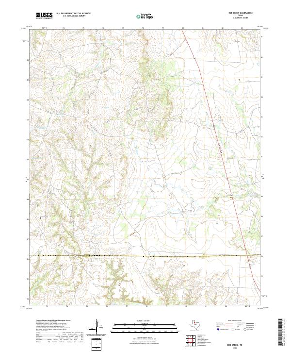
2022 Map of Bob Creek
USGS Topo · Published 2022About this map
Gilkerson Cem sits in the lower-left quadrant of this landscape, a small landmark of family history on the border of North Texas ranch lands. The terrain is defined by the ephemeral flow of several drainage systems, including Brushy Cr and Bob Cr, which cross the boundary between King and Stonewall counties. Unlike more developed regions, this area remains characterized by isolated water features such as Matthew Hooks Reservoir and Brushy Tank, suggesting a landscape primarily shaped by cattle ranching and water management.
Find a feature on this map
13 named features on this map. Tap any name to fly to it.
Don’t see what you’re looking for? This feature index may not catch every label — zoom into the map to look around manually.
Map Details
Editions of this 2022 Bob Creek Map
This is the sole edition of this map. No revisions or reprints were ever made.
Other maps of this area

1954 · Lubbock
USGS Topo · 1:250,000

1958 · Southerland Canyon
USGS Topo · 1:24,000

1958 · Seven Diamond L Canyon
USGS Topo · 1:24,000

1958 · Lovers Resort
USGS Topo · 1:24,000

1959 · Bob Creek
USGS Topo · 1:24,000

1967 · Dark Canyon
USGS Topo · 1:24,000

1967 · Kiowa Peak NW
USGS Topo · 1:24,000

1967 · Kiowa Peak SW
USGS Topo · 1:24,000

1968 · Guthrie
USGS Topo · 1:24,000

1968 · Pitchfork Flats
USGS Topo · 1:24,000