
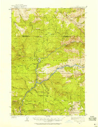
1936 Map of Boehls Butte
USGS Topo · Published 1936About this map
St Joe National Forest and Clearwater National Forest dominate this 1930s landscape, where a sophisticated network of fire lookouts oversaw the timbered peaks and river canyons. The confluence of the North Fork Clearwater River and the Little North Fork Clearwater River serves as the central drainage for the region, while the Eighth Standard Parallel North cuts across the center. Scattered throughout these drainages are several isolated habitations, including Boehls, Morris Cabin, and Mix Cabin, indicating the presence of trappers, forest rangers, or early homesteaders. The reliance on high-elevation surveillance is clear, with sites like Bertha Hill Lookout, Benton Butte Lookout, and Match Point Smith Lookout strategically positioned to monitor the surrounding drainages of Benton Creek and Floodwood Creek.
Find a feature on this map
58 named features on this map. Tap any name to fly to it.
Don’t see what you’re looking for? This feature index may not catch every label — zoom into the map to look around manually.
Map Details
Editions of this 1936 Boehls Butte Map
3 editions found
Other maps of this area

1914 · Avery
USGS Topo · 1:125,000

1917 · Avery
USGS Topo · 1:125,000

1923 · Washington Creek
USGS Topo · 1:125,000

1938 · Headquarters
USGS Topo · 1:48,000

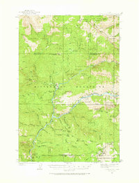
1943 · Boehls Butte
USGS Topo · 1:62,500

1944 · Headquarters
USGS Topo · 1:62,500

1955 · Pullman
USGS Topo · 1:250,000

1955 · Spokane
USGS Topo · 1:250,000

1956 · Wallace
USGS Topo · 1:250,000

1956 · Hamilton
USGS Topo · 1:250,000