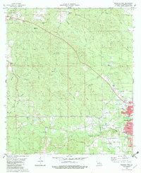
1982 Map of Bogalusa West
USGS Topo · Published 1982About this map
Bogalusa anchors the eastern edge of this Washington Parish landscape, showing the city's residential grid extending west along Borgne Ave and W 12th St. The terrain is defined by a dense network of waterways, including Bogue Lusa Creek and Coburn Creek, which create a complex drainage pattern throughout the parish. Beyond the urban limits, the map reveals a rural character marked by numerous family-named landmarks and small-scale industry. Timber and resource extraction are evident through the Dean Lee State Forest and several Gravel Pits. For genealogists, the map is particularly detailed, recording multiple small burial grounds such as McNeese Cem, Corkern Cem, and Rester Cem, alongside local spiritual centers like Plainview Ch and Greater Morning Star Ch. The Sheridan Lookout Tower stands as a prominent navigational point in the northwestern corner, overlooking the creek branches that feed the Bogue Lusa system.
Find a feature on this map
51 named features on this map. Tap any name to fly to it.
Don’t see what you’re looking for? This feature index may not catch every label — zoom into the map to look around manually.
Map Details
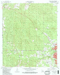
Editions of this 1982 Bogalusa West Map
2 editions found
Other maps of this area

1939 · Zona
USGS Topo · 1:31,680

1942 · Thigpen
USGS Topo · 1:31,680

1942 · Rio
USGS Topo · 1:31,680

1942 · Pools Bluff
USGS Topo · 1:31,680

1942 · Thomas
USGS Topo · 1:31,680

1949 · Bogalusa East
USGS Topo · 1:31,680

1949 · Angie
USGS Topo · 1:31,680

1949 · Bogalusa West
USGS Topo · 1:31,680

1950 · Crains Creek
USGS Topo · 1:31,680

1953 · Mobile
USGS Topo · 1:250,000