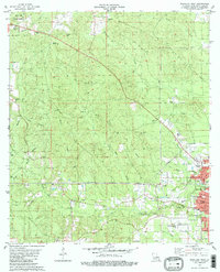
1982 Map of Bogalusa West
USGS Topo · Published 1982About this map
The western expansion of Bogalusa and the surrounding piney woods of Washington Parish are documented in this early 1980s topographic study. The city's residential and industrial footprint is visible through the grid of streets like Bogne Ave and Cedar Ave, alongside community pillars such as the Denhamtown School and Westside Church. The landscape is defined by the winding course of Bogue Lusa Creek and its many tributaries, including Ice Water Branch and Coburn Creek.
Find a feature on this map
47 named features on this map. Tap any name to fly to it.
Don’t see what you’re looking for? This feature index may not catch every label — zoom into the map to look around manually.
Map Details
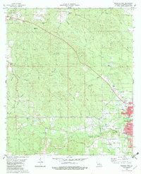
Editions of this 1982 Bogalusa West Map
2 editions found
Other maps of this area

1939 · Zona
USGS Topo · 1:31,680

1942 · Thigpen
USGS Topo · 1:31,680

1942 · Rio
USGS Topo · 1:31,680

1942 · Pools Bluff
USGS Topo · 1:31,680

1942 · Thomas
USGS Topo · 1:31,680

1949 · Bogalusa East
USGS Topo · 1:31,680

1949 · Angie
USGS Topo · 1:31,680

1949 · Bogalusa West
USGS Topo · 1:31,680

1950 · Crains Creek
USGS Topo · 1:31,680

1953 · Mobile
USGS Topo · 1:250,000