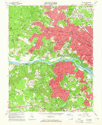
1964 Map of Bon Air
USGS Topo · Published 1965About this map
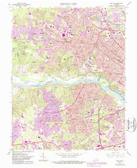
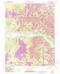
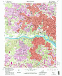
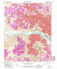
The James River corridor west of Richmond undergoes significant post-war suburban transformation on this sheet, as seen in the sprawling residential developments of Bon Air and Stratford Hills. The landscape preserves remnants of its industrial and military history at the Bellona Arsenal Ruins and various active Gravel Pits. Transport patterns are defined by the Chesapeake and Ohio Railroad following the river’s north bank, while the Southern Railroad cuts through the southern hills.
Find a feature on this map
128 named features on this map. Tap any name to fly to it.
Don’t see what you’re looking for? This feature index may not catch every label — zoom into the map to look around manually.
Map Details
Editions of this 1964 Bon Air Map
8 editions found
Other maps of this area

1890 · Goochland
USGS Topo · 1:125,000

1892 · Goochland
USGS Topo · 1:125,000

1894 · Bermuda Hundred
USGS Topo · 1:62,500

1894 · Richmond
USGS Topo · 1:62,500

1895 · Richmond
USGS Topo · 1:62,500

1897 · Amelia
USGS Topo · 1:125,000

1934 · Richmond
USGS Topo · 1:24,000

1936 · Richmond West
USGS Topo · 1:24,000

1936 · Glen Allen
USGS Topo · 1:24,000

1938 · Drewrys Bluff
USGS Topo · 1:24,000