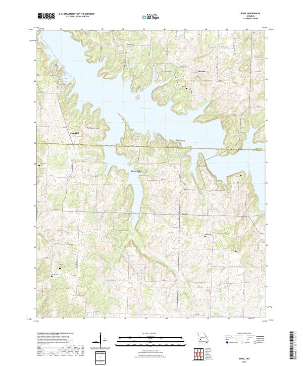
2021 Map of Bona
USGS Topo · Published 2021About this map
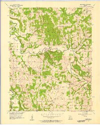
Stockton Lake dominates this portion of the northern Ozarks, where the waters of the Mutton Creek and Maze Creek arms meet. The landscape is defined by the contrast between these broad impoundments and the remaining high ground where rural life persists in small clusters. The settlement of Bona sits at the junction of State Road Y and Highway 245, while Cane Hill and Masters occupy the ridges to the west and north. Family history is deeply rooted here, evidenced by numerous burial grounds such as Asbell Cem, Mount Zion Cem, and Neil Cem that escaped the rising waters. Dramatic topography remains visible at Perkins Bluff and Tunnel Bluff, overlooking the many fingers of the lake. The presence of Carns Ford indicates a historic crossing point now influenced by the reservoir’s water levels.
Find a feature on this map
52 named features on this map. Tap any name to fly to it.
Don’t see what you’re looking for? This feature index may not catch every label — zoom into the map to look around manually.
Map Details
Editions of this 2021 Bona Map
This is the sole edition of this map. No revisions or reprints were ever made.
Other maps of this area

1886 · Stockton
USGS Topo · 1:125,000

1886 · Greenfield
USGS Topo · 1:125,000

1888 · Greenfield
USGS Topo · 1:125,000

1954 · Springfield
USGS Topo · 1:250,000

1955 · Dadeville
USGS Topo · 1:24,000
1956 · Fair Play
USGS Topo · 1:24,000
1956 · Walnut Grove
USGS Topo · 1:24,000
1956 · Stockton
USGS Topo · 1:24,000
1956 · Bearcreek
USGS Topo · 1:24,000

1956 · Greenfield
USGS Topo · 1:24,000