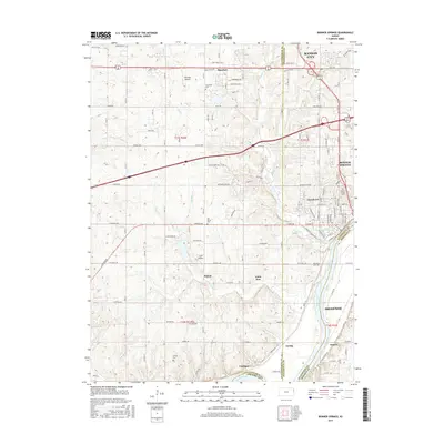
2015 Map of Bonner Springs
USGS Topo · Published 2015About this map
The Kansas River cuts through the southern reaches of this landscape, anchoring a corridor of rail and road infrastructure that connects several small settlements. The area around Bonner Springs and Basehor exhibits a blend of rural township grids and expanding suburban residential pockets. To the south, smaller communities like Loring, Coldspur, and Frisbie sit near the riverbanks, while the presence of Hoelting Airport, Huff Airport, and an Aerodrome suggests a reliance on small-scale aviation within the regional transportation network. Local heritage is preserved in numerous burial grounds scattered across the terrain, including the Bonner Springs Cem, Elm Grove Cem, and Lenape Cem. These sites, along with the distinct boundaries of Wyandotte Co and Leavenworth Co, provide clear markers for tracing land ownership and community development in this part of Kansas.
Find a feature on this map
72 named features on this map. Tap any name to fly to it.
Don’t see what you’re looking for? This feature index may not catch every label — zoom into the map to look around manually.
Map Details
Editions of this 2015 Bonner Springs Map
This is the sole edition of this map. No revisions or reprints were ever made.
Other maps of this area

1885 · Lawrence
USGS Topo · 1:125,000

1886 · Oskaloosa
USGS Topo · 1:125,000

1887 · Olathe
USGS Topo · 1:125,000

1888 · Oskaloosa
USGS Topo · 1:125,000

1889 · Lawrence
USGS Topo · 1:125,000

1890 · Kansas City
USGS Topo · 1:125,000

1893 · Olathe
USGS Topo · 1:125,000

1894 · Kansas City
USGS Topo · 1:125,000

1894 · Oskaloosa
USGS Topo · 1:125,000

1934 · Bonner Springs
USGS Topo · 1:48,000