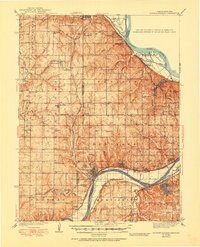
1940 Map of Bonner Springs
USGS Topo · Published 1950About this map
The Kansas River and Missouri River converge near the eastern edge of this landscape, anchoring a complex network of rail lines and river-bottom settlements. At Bonner Springs, the Union Pacific and Atchison Topeka and Santa Fe railroads follow the northern bank of the Kansas River, serving agricultural communities like Edwardsville and Loring. Further north, the Missouri Pacific cuts through the uplands of High Prairie, connecting Lansing and Fairmount.
Find a feature on this map
82 named features on this map. Tap any name to fly to it.
Don’t see what you’re looking for? This feature index may not catch every label — zoom into the map to look around manually.
Map Details
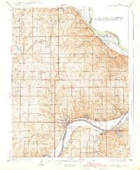
Editions of this 1940 Bonner Springs Map
3 editions found

Other maps of this area

1885 · Lawrence
USGS Topo · 1:125,000

1886 · Oskaloosa
USGS Topo · 1:125,000

1887 · Olathe
USGS Topo · 1:125,000

1888 · Oskaloosa
USGS Topo · 1:125,000

1889 · Lawrence
USGS Topo · 1:125,000

1890 · Kansas City
USGS Topo · 1:125,000

1893 · Olathe
USGS Topo · 1:125,000

1894 · Kansas City
USGS Topo · 1:125,000

1894 · Oskaloosa
USGS Topo · 1:125,000

1910 · Leavenworth
USGS Topo · 1:62,500