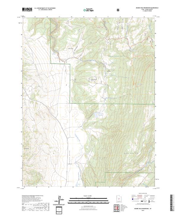
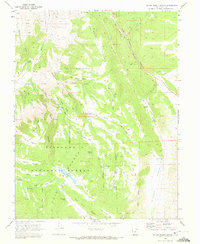
2023 Map of Boobe Hole Reservoir
USGS Topo · Published 2023About this map
Fishlake National Forest dominates this high-elevation landscape in Sevier County, where a network of springs and reservoirs manages the scarce water resources of the High Plateaus. The topography is defined by the broad Plateau Valley and the steep rise of Mormon Mtn and Boobe Hole Mtn. In the northern sections, infrastructure like the Salina City Spring and Elbow Spring along Little Lost Creek indicates the critical role of these uplands in supplying the nearby settlements.
Find a feature on this map
34 named features on this map. Tap any name to fly to it.
Don’t see what you’re looking for? This feature index may not catch every label — zoom into the map to look around manually.
Map Details
Editions of this 2023 Boobe Hole Reservoir Map
This is the sole edition of this map. No revisions or reprints were ever made.
Other maps of this area

1885 · Fish Lake
USGS Topo · 1:250,000

1896 · Fish Lake
USGS Topo · 1:250,000

1956 · Salina
USGS Topo · 1:250,000

1960 · Salina
USGS Topo · 1:250,000

1962 · Salina
USGS Topo · 1:250,000
1966 · Rex Reservoir
USGS Topo · 1:24,000
1966 · Sigurd
USGS Topo · 1:24,000
1966 · Gooseberry Creek
USGS Topo · 1:24,000

1968 · Fish Lake
USGS Topo · 1:24,000
1968 · Water Creek Canyon
USGS Topo · 1:24,000