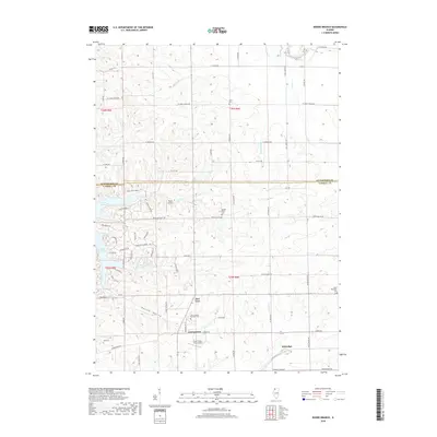
2018 Map of Boone Branch
USGS Topo · Published 2018About this map
Georgetown and the nearby settlement of Kittredge anchor this portion of the Carroll County landscape, where the agricultural terrain is carved by the Dyslin Valley and several winding waterways. The area is marked by a high density of small family and community burial grounds, including Cherry Grove Brethren Cem, Saint Wendelin Cem, and Wolf Cem, providing significant points of interest for genealogical research. To the west, the man-made shoreline of Lake Carroll introduces a distinct residential and recreational pattern contrasted with the surrounding farmsteads.
Find a feature on this map
48 named features on this map. Tap any name to fly to it.
Don’t see what you’re looking for? This feature index may not catch every label — zoom into the map to look around manually.
Map Details
Editions of this 2018 Boone Branch Map
This is the sole edition of this map. No revisions or reprints were ever made.
Other maps of this area

1937 · Lena
USGS Topo · 1:48,000

1939 · Freeport
USGS Topo · 1:48,000

1942 · Mt Carroll
USGS Topo · 1:62,500

1942 · Lena
USGS Topo · 1:62,500

1942 · Forreston
USGS Topo · 1:62,500

1943 · Lena
USGS Topo · 1:62,500

1944 · Mt Carroll
USGS Topo · 1:62,500

1944 · Freeport
USGS Topo · 1:62,500

1945 · Forreston
USGS Topo · 1:62,500

1954 · Rockford
USGS Topo · 1:250,000