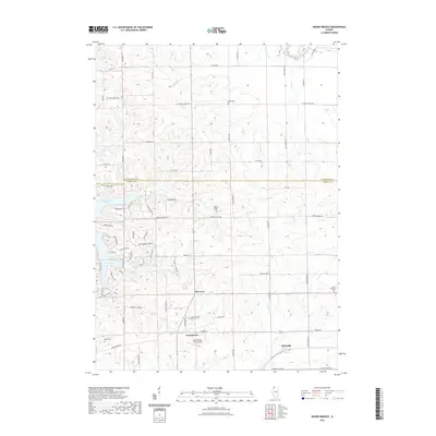
2021 Map of Boone Branch
USGS Topo · Published 2021About this map
The boundary between Stephenson and Carroll Counties divides a landscape of agricultural tradition and modern development in Northwest Illinois. Rural settlements like Georgetown, Kittredge, and Zier Cors anchor the lower half of the quadrangle, where a cluster of small airports like Swan Valley Farm Airport and Block Airport suggest a local reliance on private aviation. The northern section is dominated by the sprawling residential infrastructure surrounding Lake Carroll, with its complex network of winding roads like Lake Carroll Blvd and Wakonda Dr contrasting with the straight-line section roads of the surrounding farmland.
Find a feature on this map
70 named features on this map. Tap any name to fly to it.
Don’t see what you’re looking for? This feature index may not catch every label — zoom into the map to look around manually.
Map Details
Editions of this 2021 Boone Branch Map
This is the sole edition of this map. No revisions or reprints were ever made.
Other maps of this area

1937 · Lena
USGS Topo · 1:48,000

1939 · Freeport
USGS Topo · 1:48,000

1942 · Mt Carroll
USGS Topo · 1:62,500

1942 · Lena
USGS Topo · 1:62,500

1942 · Forreston
USGS Topo · 1:62,500

1943 · Lena
USGS Topo · 1:62,500

1944 · Mt Carroll
USGS Topo · 1:62,500

1944 · Freeport
USGS Topo · 1:62,500

1945 · Forreston
USGS Topo · 1:62,500

1954 · Rockford
USGS Topo · 1:250,000