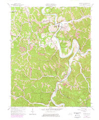
1961 Map of Booneville
USGS Topo · Published 1978About this map
The Kentucky River South Fork winds through a landscape defined by sharp ridges and deep hollows in this 1961 survey, which captures Owsley County’s complex geography just before late 20th-century developments were noted in the 1978 revision. The county seat of Booneville serves as the central hub, surrounded by smaller dispersed settlements like Levi, Scoville, and Conkling. Cultural life is marked by numerous country churches and schools, including Elk Lick Ch and the Rice Sch, reflecting the community's rural structure. The map reveals the early footprint of regional industry, with several Strip Mine operations and Oil Wells peppered across the hills, signaling the extraction economy that shaped this part of the Kentucky Appalachians. Genealogists will find significant value in the documentation of family-named burial sites such as Pendergrass Cem and McIntosh Cem, which are tucked away in the narrow valleys of Meadow Creek and Buck Creek.
Find a feature on this map
73 named features on this map. Tap any name to fly to it.
Don’t see what you’re looking for? This feature index may not catch every label — zoom into the map to look around manually.
Map Details
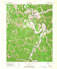
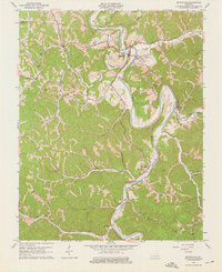
Editions of this 1961 Booneville Map
3 editions found
Other maps of this area

1891 · Manchester
USGS Topo · 1:125,000

1892 · Beattyville
USGS Topo · 1:125,000

1952 · Tallega
USGS Topo · 1:24,000

1952 · Beattyville
USGS Topo · 1:24,000

1952 · Heidelberg
USGS Topo · 1:24,000

1953 · Oneida
USGS Topo · 1:24,000

1953 · Cowcreek
USGS Topo · 1:24,000

1953 · Mistletoe
USGS Topo · 1:24,000

1953 · Booneville
USGS Topo · 1:24,000

1953 · Sturgeon
USGS Topo · 1:24,000