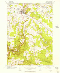
1955 Map of Boonville
USGS Topo · Published 1957About this map
Boonville serves as the central hub of this mid-century survey, situated at the junction where the New York Central railroad meets a network of waterways and early roads. The landscape is defined by the steep descent of the Black River and the Lansing Kill, which carve through the Boonville Gorge State Park past Pixley Falls. This area illustrates a transition from the industrial and transport activity near the Fairgrounds and Boonville Landing Field to the managed woodlands of the State Reforestation Area.
Find a feature on this map
47 named features on this map. Tap any name to fly to it.
Don’t see what you’re looking for? This feature index may not catch every label — zoom into the map to look around manually.
Map Details
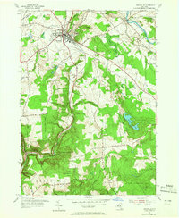
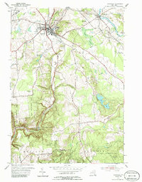
Editions of this 1955 Boonville Map
3 editions found
Other maps of this area

1897 · Remsen
USGS Topo · 1:62,500

1900 · Remsen
USGS Topo · 1:62,500

1904 · Boonville
USGS Topo · 1:62,500

1905 · Port Leyden
USGS Topo · 1:62,500

1907 · Port Leyden
USGS Topo · 1:62,500

1912 · Mc Keever
USGS Topo · 1:62,500

1940 · Port Leyden
USGS Topo · 1:62,500

1945 · Boonville
USGS Topo · 1:24,000

1945 · Forestport
USGS Topo · 1:24,000
1946 · West Leyden
USGS Topo · 1:31,680