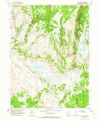
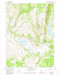
1962 Map of Boot Lake
USGS Topo · Published 1964About this map
The Modoc National Forest landscape shown here in the early 1960s is defined by high-altitude ranching and isolated water sources. Settlement patterns are concentrated around family operations like the Clarks Valley Ranch and Hornback Ranch, which are connected by a network of jeep trails rather than established roads. The presence of the Evans Place and Red Rock Ranch suggests a era where remote livestock management relied on seasonal springs and natural depressions such as Boot Lake and Red Rock Lake.
Find a feature on this map
26 named features on this map. Tap any name to fly to it.
Don’t see what you’re looking for? This feature index may not catch every label — zoom into the map to look around manually.
Map Details
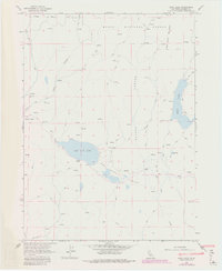
Editions of this 1962 Boot Lake Map
6 editions found
Other maps of this area

1886 · Alturas
USGS Topo · 1:250,000

1886 · Honey Lake
USGS Topo · 1:250,000

1891 · Honey Lake
USGS Topo · 1:250,000

1892 · Alturas
USGS Topo · 1:250,000

1893 · Honey Lake
USGS Topo · 1:250,000

1954 · Observation Peak
USGS Topo · 1:62,500

1954 · Ravendale
USGS Topo · 1:62,500

1954 · Alturas
USGS Topo · 1:250,000

1955 · Westwood
USGS Topo · 1:250,000

1958 · Alturas
USGS Topo · 1:250,000