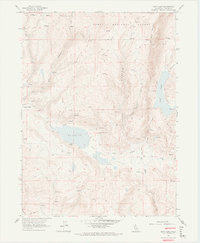
1962 Map of Boot Lake
USGS Topo · Published 1974About this map
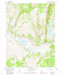
Clarks Valley Ranch and Hornback Ranch anchor this high-elevation landscape in the northeastern corner of California. Recorded during a 1962 field check, the area is defined by its seasonal hydrology and early ranching footprint. Natural landmarks such as Red Rock Lake and the elongated Boot Lake sit within the drainage basins of Alaska Canyon and Selic Canyon. The terrain is marked by numerous unnamed springs that support isolated homesteads like Evans Place. This survey preserves the exact locations of many interior fence lines and primitive jeep trails that once connected these remote holdings across Modoc National Forest. The presence of bench marks like VABM Black 7824 and VABM Head 6586 underscores the survey's focus on the prominent volcanic peaks and ridgelines that divide Red Rock Valley from the surrounding high desert plateaus.
Find a feature on this map
62 named features on this map. Tap any name to fly to it.
Don’t see what you’re looking for? This feature index may not catch every label — zoom into the map to look around manually.
Map Details
Editions of this 1962 Boot Lake Map
6 editions found
Other maps of this area

1886 · Alturas
USGS Topo · 1:250,000

1886 · Honey Lake
USGS Topo · 1:250,000

1891 · Honey Lake
USGS Topo · 1:250,000

1892 · Alturas
USGS Topo · 1:250,000

1893 · Honey Lake
USGS Topo · 1:250,000

1954 · Observation Peak
USGS Topo · 1:62,500

1954 · Ravendale
USGS Topo · 1:62,500

1954 · Alturas
USGS Topo · 1:250,000

1955 · Westwood
USGS Topo · 1:250,000

1958 · Alturas
USGS Topo · 1:250,000