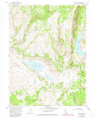
1962 Map of Boot Lake
USGS Topo · Published 1983About this map
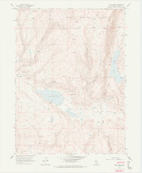
Modoc National Forest encompasses this high-elevation landscape in northeastern California, where ranching outposts and seasonal water sources define the geography. The region is characterized by a network of steep drainage systems, including Alaska Canyon and Selic Canyon, which feed into the primary basins of Red Rock Valley and Clarks Valley. Several named homesteads and family sites are preserved here, including the Clarks Valley Ranch, Hornback Ranch, Red Rock Ranch, and Evans Place, indicating a long-standing history of grazing and land use in this part of Lassen County.
Find a feature on this map
26 named features on this map. Tap any name to fly to it.
Don’t see what you’re looking for? This feature index may not catch every label — zoom into the map to look around manually.
Map Details
Editions of this 1962 Boot Lake Map
6 editions found
Other maps of this area

1886 · Alturas
USGS Topo · 1:250,000

1886 · Honey Lake
USGS Topo · 1:250,000

1891 · Honey Lake
USGS Topo · 1:250,000

1892 · Alturas
USGS Topo · 1:250,000

1893 · Honey Lake
USGS Topo · 1:250,000

1954 · Observation Peak
USGS Topo · 1:62,500

1954 · Ravendale
USGS Topo · 1:62,500

1954 · Alturas
USGS Topo · 1:250,000

1955 · Westwood
USGS Topo · 1:250,000

1958 · Alturas
USGS Topo · 1:250,000