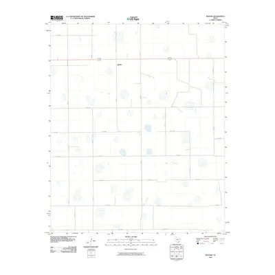
2010 Map of Boothe
USGS Topo · Published 2010About this map
Boothe serves as the central point of this West Texas agricultural landscape, situated at the intersection of Fm 602 and US Highway 62/70. The terrain is defined by the unique playa lake systems of the Llano Estacado, appearing as numerous isolated depressions scattered across a highly organized grid of section roads. This 2010 survey by the U.S. Geological Survey illustrates how rural Floyd County is partitioned by an extensive network of county roads, such as Co RD 211 and Co RD 290, which support the region's expansive farming operations. The concentration of man-made features is sparse, emphasizing the vast, open character of the High Plains before the landscape transitions toward the Caprock to the east. For the local historian or researcher, the map provides a clear record of land divisions and the specific routes, including Fm 1958, that connect this isolated settlement to larger regional hubs.
Find a feature on this map
19 named features on this map. Tap any name to fly to it.
Don’t see what you’re looking for? This feature index may not catch every label — zoom into the map to look around manually.
Map Details
Editions of this 2010 Boothe Map
This is the sole edition of this map. No revisions or reprints were ever made.
Other maps of this area

1954 · Lubbock
USGS Topo · 1:250,000

1954 · Plainview
USGS Topo · 1:250,000

1958 · Plainview
USGS Topo · 1:250,000

1965 · Lockney SE
USGS Topo · 1:24,000

1965 · Floydada
USGS Topo · 1:24,000

1965 · Floydada SE
USGS Topo · 1:24,000

1965 · Wake
USGS Topo · 1:24,000

1965 · Boothe
USGS Topo · 1:24,000

1966 · Lockney 4 SW
USGS Topo · 1:24,000

1966 · Mount Blanco
USGS Topo · 1:24,000