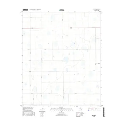
2016 Map of Boothe
USGS Topo · Published 2016About this map
Boothe sits at the heart of this Floyd County landscape, a community defined by the sprawling grid of the Texas High Plains. The area is marked by a distinctive pattern of countless small, shallow depressions across the terrain, which are a primary geological characteristic of this section of the Llano Estacado. These features are interspersed among a highly organized network of section-line roads, such as Co RD 241 and Co RD 270, which facilitate the region's agricultural transport. The primary east-west thoroughfare, 62 70, bisects the northern half of the area, while farm-to-market routes like FM 602 and FM 1958 connect the localized farmsteads. This 2016 survey captures the intersection of natural hydrology and modern rural infrastructure, showing how the local road network carefully navigates the hundreds of isolated basins that dot the territory.
Find a feature on this map
20 named features on this map. Tap any name to fly to it.
Don’t see what you’re looking for? This feature index may not catch every label — zoom into the map to look around manually.
Map Details
Editions of this 2016 Boothe Map
This is the sole edition of this map. No revisions or reprints were ever made.
Other maps of this area

1954 · Lubbock
USGS Topo · 1:250,000

1954 · Plainview
USGS Topo · 1:250,000

1958 · Plainview
USGS Topo · 1:250,000

1965 · Lockney SE
USGS Topo · 1:24,000

1965 · Floydada
USGS Topo · 1:24,000

1965 · Floydada SE
USGS Topo · 1:24,000

1965 · Wake
USGS Topo · 1:24,000

1965 · Boothe
USGS Topo · 1:24,000

1966 · Lockney 4 SW
USGS Topo · 1:24,000

1966 · Mount Blanco
USGS Topo · 1:24,000