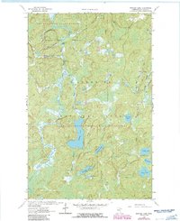
1963 Map of Bootleg Lake
USGS Topo · Published 1986About this map
Little Sioux River and the Indian River wind through this heavily glaciated pocket of northeastern Minnesota, a landscape defined by its intricate network of lakes and drainage basins. During this mid-century survey period, the area sits at the intersection of several managed wilderness zones, including the Lake Jeanette State Forest and the Superior National Forest. The transition into the Boundary Waters Canoe Area Wilderness is clearly marked, illustrating the region's preservation as a primary aquatic thoroughfare.
Find a feature on this map
29 named features on this map. Tap any name to fly to it.
Don’t see what you’re looking for? This feature index may not catch every label — zoom into the map to look around manually.
Map Details
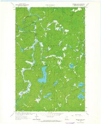
Editions of this 1963 Bootleg Lake Map
2 editions found
Other maps of this area

1954 · Hibbing
USGS Topo · 1:250,000

1954 · International Falls
USGS Topo · 1:250,000

1956 · Sioux Pine Island
USGS Topo · 1:24,000

1956 · Chad Lake
USGS Topo · 1:24,000

1956 · Crab Lake
USGS Topo · 1:24,000

1957 · Hibbing
USGS Topo · 1:250,000

1957 · International Falls
USGS Topo · 1:250,000

1958 · International Falls
USGS Topo · 1:250,000

1958 · Hibbing
USGS Topo · 1:250,000

1963 · Astrid Lake
USGS Topo · 1:24,000