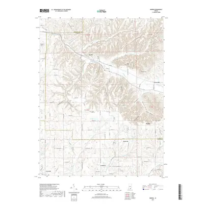
2019 Map of Borden
USGS Topo · Published 2019About this map
Borden sits along the CSX Transportation railroad line, serving as a focal point for the surrounding hollows and ridges of southern Indiana. The landscape is defined by its drainage into the Muddy Fork and Middle Fork Indian Cr, which carve out notable terrain features like Hounds Leap and Broom Hill. This 2019 survey documents the transition from the settled valley floors to the more elevated, wooded heights of Daisy Hill and Cubby House Hill.
Find a feature on this map
130 named features on this map. Tap any name to fly to it.
Don’t see what you’re looking for? This feature index may not catch every label — zoom into the map to look around manually.
Map Details
Editions of this 2019 Borden Map
This is the sole edition of this map. No revisions or reprints were ever made.
Other maps of this area

1938 · Speed
USGS Topo · 1:24,000

1939 · New Albany
USGS Topo · 1:24,000

1939 · Georgetown
USGS Topo · 1:24,000

1941 · Borden
USGS Topo · 1:24,000

1946 · New Albany
USGS Topo · 1:24,000

1947 · Speed
USGS Topo · 1:24,000

1947 · Georgetown
USGS Topo · 1:24,000

1949 · Henryville
USGS Topo · 1:24,000

1949 · Georgetown
USGS Topo · 1:24,000

1950 · Salem
USGS Topo · 1:24,000