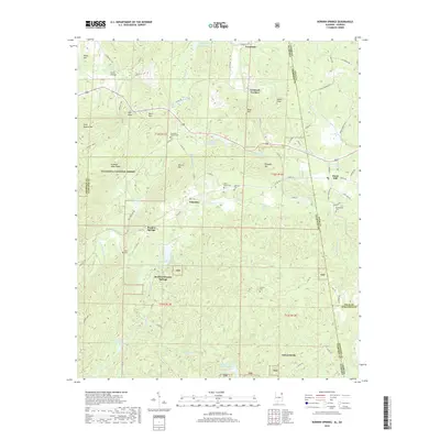
2018 Map of Borden Springs
USGS Topo · Published 2018About this map
Borden Wheeler Springs and Borden Springs sit within a landscape shaped by both early industry and modern conservation, straddling the Alabama-Georgia border. The presence of Tecumseh Furnace and the namesake Augusta Mine Ridge highlights the region's historical ties to iron ore processing, while the sprawling Talladega National Forest now preserves much of the surrounding terrain.
Find a feature on this map
68 named features on this map. Tap any name to fly to it.
Don’t see what you’re looking for? This feature index may not catch every label — zoom into the map to look around manually.
Map Details
Editions of this 2018 Borden Springs Map
This is the sole edition of this map. No revisions or reprints were ever made.
Other maps of this area

1886 · Rome
USGS Topo · 1:125,000

1889 · Tallapoosa
USGS Topo · 1:125,000
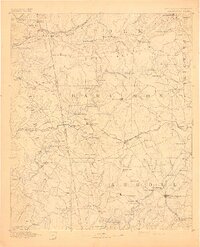
1892 · Tallapoosa
USGS Topo · 1:125,000

1893 · Fort Payne
USGS Topo · 1:125,000
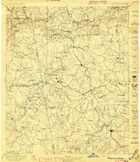
1897 · Tallapoosa
USGS Topo · 1:125,000
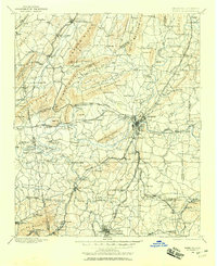
1898 · Rome
USGS Topo · 1:125,000
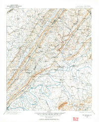
1898 · Fort Payne
USGS Topo · 1:125,000
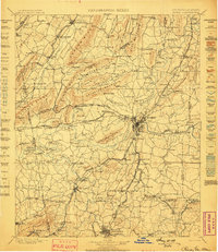
1899 · Rome
USGS Topo · 1:125,000
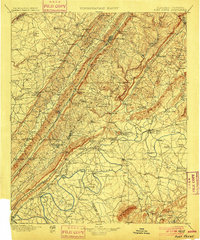
1900 · Fort Payne
USGS Topo · 1:125,000

1900 · Anniston
USGS Topo · 1:125,000