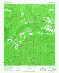
1966 Map of Borden Springs
USGS Topo · Published 1967About this map
Borden Wheeler Springs and the surrounding woodlands of the Talladega National Forest define this landscape along the Alabama-Georgia border during the mid-1960s. The map reveals an area deeply shaped by industrial history and transit, notably the historic Tecumseh Furnace and numerous quarries scattered across the ridges near Tecumseh. This industrial footprint is tied together by the Seaboard Coast Line and Southern railroads, which connect small settlements like Rock Run Station and Palestine.
Find a feature on this map
50 named features on this map. Tap any name to fly to it.
Don’t see what you’re looking for? This feature index may not catch every label — zoom into the map to look around manually.
Map Details
Editions of this 1966 Borden Springs Map
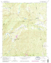
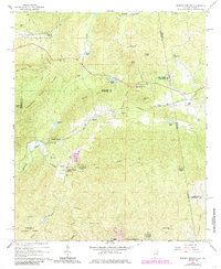
Other maps of this area

1886 · Rome
USGS Topo · 1:125,000

1889 · Tallapoosa
USGS Topo · 1:125,000

1892 · Tallapoosa
USGS Topo · 1:125,000

1893 · Fort Payne
USGS Topo · 1:125,000

1897 · Tallapoosa
USGS Topo · 1:125,000

1898 · Rome
USGS Topo · 1:125,000

1898 · Fort Payne
USGS Topo · 1:125,000

1899 · Rome
USGS Topo · 1:125,000

1900 · Fort Payne
USGS Topo · 1:125,000

1900 · Anniston
USGS Topo · 1:125,000