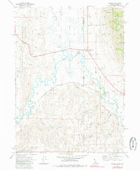
1970 Map of Border
USGS Topo · Published 1985About this map
The Idaho-Wyoming state line bisects this landscape where the Thomas Fork joins the meandering Bear River. This high-altitude corridor is defined by the intersection of mountain ranges and critical transit infrastructure. The Union Pacific railroad tracks and the highway route through Border Summit demonstrate how the local geography dictated movement between the Preuss Range and the Sublette Range.
Find a feature on this map
33 named features on this map. Tap any name to fly to it.
Don’t see what you’re looking for? This feature index may not catch every label — zoom into the map to look around manually.
Map Details
Editions of this 1970 Border Map
2 editions found
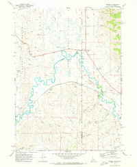
Other maps of this area

1909 · Montpelier
USGS Topo · 1:125,000

1911 · Montpelier
USGS Topo · 1:125,000

1936 · Cokeville
USGS Topo · 1:96,000

1942 · Cokeville
USGS Topo · 1:125,000

1955 · Preston
USGS Topo · 1:250,000

1958 · Preston
USGS Topo · 1:250,000

1962 · Preston
USGS Topo · 1:250,000

1967 · Huff Lake
USGS Topo · 1:24,000
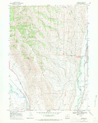
1967 · Marse
USGS Topo · 1:24,000
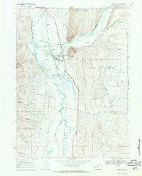
1967 · Cokeville
USGS Topo · 1:24,000