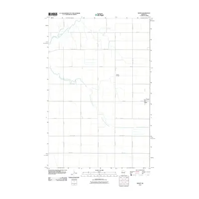
2010 Map of Borup
USGS Topo · Published 2010About this map
Borup serves as the primary community hub in this section of Norman County, centered at the intersection of Main Ave and local county routes. The settlement’s civic identity is anchored by the Borup Post Office, while the surrounding rural landscape is defined by the meandering courses of the Wild Rice River and its South Branch. This 2010 survey illustrates a highly structured agricultural grid, where long-established burial grounds like Winchester Cemetery and the German Methodist Cemetery stand as quiet landmarks of the region's early settlement history. The geography is dominated by these waterways and a dense network of section-line roads, including County Hwy-127 and County Hwy-33, which connect isolated farmsteads across the flat prairie terrain.
Find a feature on this map
28 named features on this map. Tap any name to fly to it.
Don’t see what you’re looking for? This feature index may not catch every label — zoom into the map to look around manually.
Map Details
Editions of this 2010 Borup Map
This is the sole edition of this map. No revisions or reprints were ever made.
Other maps of this area

1918 · Twin Valley
USGS Topo · 1:62,500

1918 · Ulen
USGS Topo · 1:62,500

1924 · Ada
USGS Topo · 1:62,500

1952 · Grand Forks
USGS Topo · 1:250,000

1956 · Grand Forks
USGS Topo · 1:250,000

1965 · Anthony
USGS Topo · 1:24,000

1965 · Twin Valley SW
USGS Topo · 1:24,000
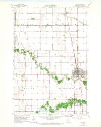
1965 · Ada
USGS Topo · 1:24,000
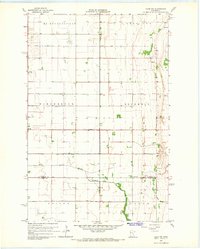
1965 · Ulen NW
USGS Topo · 1:24,000

1966 · Grand Forks
USGS Topo · 1:250,000