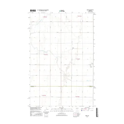
2016 Map of Borup
USGS Topo · Published 2016About this map
The settlement of Borup sits on the eastern edge of this landscape, marking a concentrated point of development within a vast grid of section lines and agricultural roads. This 2016 survey illustrates the intersection of the Wild Rice River and its southern tributaries, which meander across the prairie in sharp contrast to the rigid geometry of the surrounding section roads like 160th Ave and 100th Ave. Local history is preserved in the placement of the German Methodist Cem and the Winchester Cem, which serve as quiet markers of the community's early foundations. The map clearly delineates the county line between Norman Co and Clay Co, showing how the modern administrative boundaries bisect the natural path of the S Br Wild Rice River.
Find a feature on this map
22 named features on this map. Tap any name to fly to it.
Don’t see what you’re looking for? This feature index may not catch every label — zoom into the map to look around manually.
Map Details
Editions of this 2016 Borup Map
This is the sole edition of this map. No revisions or reprints were ever made.
Other maps of this area

1918 · Twin Valley
USGS Topo · 1:62,500

1918 · Ulen
USGS Topo · 1:62,500

1924 · Ada
USGS Topo · 1:62,500

1952 · Grand Forks
USGS Topo · 1:250,000

1956 · Grand Forks
USGS Topo · 1:250,000

1965 · Anthony
USGS Topo · 1:24,000

1965 · Twin Valley SW
USGS Topo · 1:24,000
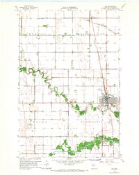
1965 · Ada
USGS Topo · 1:24,000
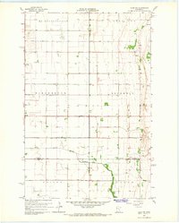
1965 · Ulen NW
USGS Topo · 1:24,000

1966 · Grand Forks
USGS Topo · 1:250,000