2022 Map of Borup
USGS Topo · Published 2022About this map
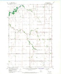
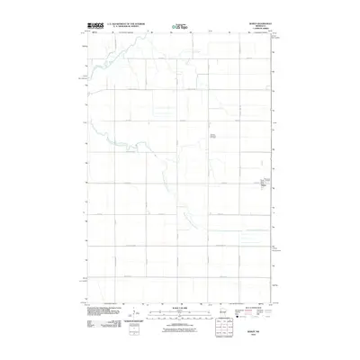
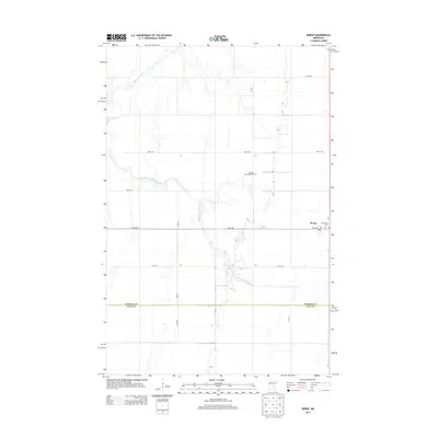
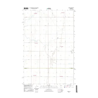
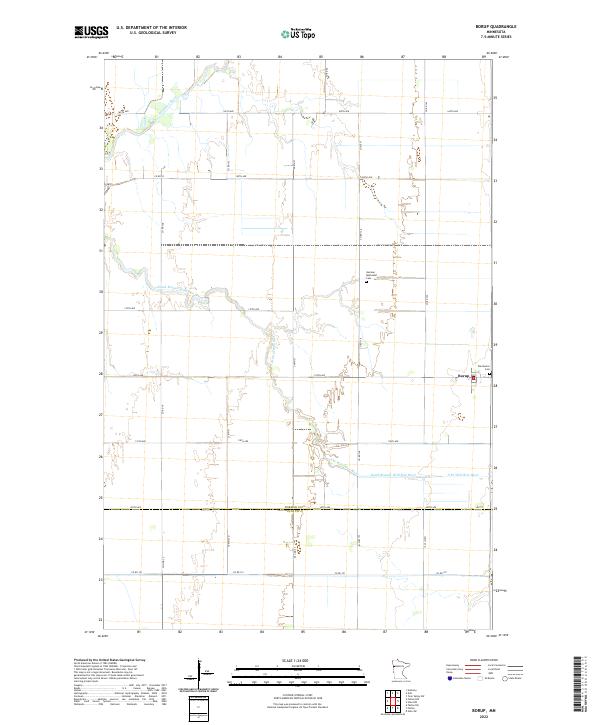
Borup sits as the primary settlement in this corner of the Red River Valley, a landscape defined by the meandering courses of the Wild Rice River and its South Branch. The terrain reflects the rigid agricultural grid of the Public Land Survey System, with a network of section-line roads like 160th Ave and 100th Ave connecting dispersed farmsteads. Near the town center, the Winchester Cemetery provides a focal point for local history, while the German Methodist Cemetery to the north points toward the area's ancestral settlement patterns. The southern edge of the map follows the boundary at Norman Co Clay Co, showing the transition into the neighboring county near Co Rd 101.
Find a feature on this map
21 named features on this map. Tap any name to fly to it.
Don’t see what you’re looking for? This feature index may not catch every label — zoom into the map to look around manually.
Map Details
Editions of this 2022 Borup Map
This is the sole edition of this map. No revisions or reprints were ever made.
Historical Maps of Borup Through Time
6 maps found