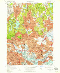
1956 Map of Boston North
USGS Topo · Published 1958About this map
The dense industrial and residential corridor north of Boston is depicted during a period of significant mid-century infrastructure, centered on the heavy rail activity of the B & M Yards and the sprawling Logan International Airport. The map highlights the contrast between the tightly packed neighborhoods of Charlestown, Somerville, and Chelsea and the expansive protected landscapes of the Middlesex Fells Reservation and Breakheart Reservation. Historical landmarks such as the Bunker Hill Monument stand alongside institutional complexes like the U S Naval Hospital and the Massachusetts Soldiers Home. Genealogists and local historians will find value in the detailed mapping of numerous religious and memorial sites, including Holy Cross Cemetery and Woodlawn Cemetery, as well as the mid-century footprint of Tufts College and the aviation history preserved at Revere Airport.
Find a feature on this map
264 named features on this map. Tap any name to fly to it.
Don’t see what you’re looking for? This feature index may not catch every label — zoom into the map to look around manually.
Map Details
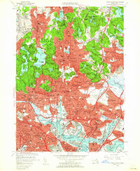
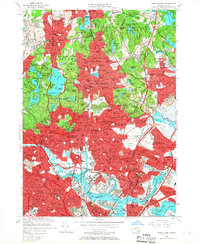
Editions of this 1956 Boston North Map
3 editions found
Other maps of this area

1886 · Lawrence
USGS Topo · 1:62,500

1888 · Lawrence
USGS Topo · 1:62,500

1888 · Salem
USGS Topo · 1:62,500

1892 · Boston Bay
USGS Topo · 1:62,500

1893 · Salem
USGS Topo · 1:62,500

1893 · Boston
USGS Topo · 1:62,500

1893 · Lawrence
USGS Topo · 1:62,500

1903 · Boston
USGS Topo · 1:62,500

1903 · Boston Bay
USGS Topo · 1:62,500

1917 · Salem
USGS Topo · 1:62,500