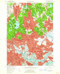
1956 Map of Boston North
USGS Topo · Published 1962About this map
Middlesex Fells Reservation dominates the western interior of this landscape, preserving a cluster of high points like Bear Hill and Winthrop Hill alongside the Winchester Reservoir and Spot Pond. This mid-century survey documents the dense urban expansion north of Boston, where the Boston and Maine RR corridors connect established neighborhoods from Melrose and Malden down to the industrial waterfronts of the Mystic River. Significant institutional footprints are visible throughout, including the U S Naval Hospital in Chelsea and the sprawling campus of Harvard University in Cambridge.
Find a feature on this map
185 named features on this map. Tap any name to fly to it.
Don’t see what you’re looking for? This feature index may not catch every label — zoom into the map to look around manually.
Map Details
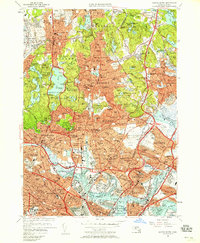
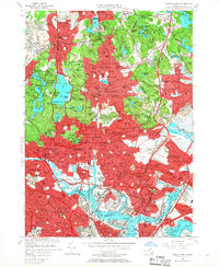
Editions of this 1956 Boston North Map
3 editions found
Other maps of this area

1886 · Lawrence
USGS Topo · 1:62,500

1888 · Lawrence
USGS Topo · 1:62,500

1888 · Salem
USGS Topo · 1:62,500

1892 · Boston Bay
USGS Topo · 1:62,500

1893 · Salem
USGS Topo · 1:62,500

1893 · Boston
USGS Topo · 1:62,500

1893 · Lawrence
USGS Topo · 1:62,500

1903 · Boston
USGS Topo · 1:62,500

1903 · Boston Bay
USGS Topo · 1:62,500

1917 · Salem
USGS Topo · 1:62,500