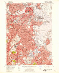
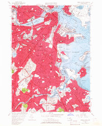
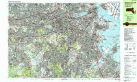
1956 Map of Boston South
USGS Topo · Published 1958About this map
Beacon Hill and the Boston Common serve as the historic core of this urban landscape, where the Charles River separates the densely built streets of Boston from the academic campuses of Harvard University and the Mass Institute of Technology. The 1950s urban fabric is defined by extensive rail infrastructure from the New York New Haven and Hartford railroad and a burgeoning network of parkways like Memorial Drive and Storrow Drive. To the south, the city gives way to established residential neighborhoods and significant green spaces, including Franklin Park and the expansive grounds of Forest Hills Cemetery. Along the coast, the Boston Inner Harbor and Dorchester Bay are hubs of activity, featuring the Us Naval Reservation and the growing footprint of Logan International Airport. The southern reaches are marked by the winding Neponset River, which borders industrial and residential areas like Lower Mills and Mattapan.
Find a feature on this map
157 named features on this map. Tap any name to fly to it.
Don’t see what you’re looking for? This feature index may not catch every label — zoom into the map to look around manually.
Map Details
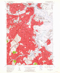
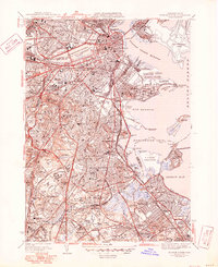
Editions of this 1956 Boston South Map
Historical Maps of Jamaica Plain Through Time
16 maps found

1944 Boston South
Suffolk County, MA

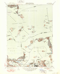
1944 Hull
Suffolk County, MA
1946 Boston South
Suffolk County, MA
1946 Hull
Suffolk County, MA

1948 Hull
Suffolk County, MA

1949 Hull
Suffolk County, MA

1954 Boston South
Suffolk County, MA
1956 Boston South
Suffolk County, MA
1958 Hull
Suffolk County, MA
1970 Boston South
Suffolk County, MA
1971 Hull
Suffolk County, MA

1977 Boston South
Suffolk County, MA

1977 Hull
Suffolk County, MA
1987 Boston South
Suffolk County, MA
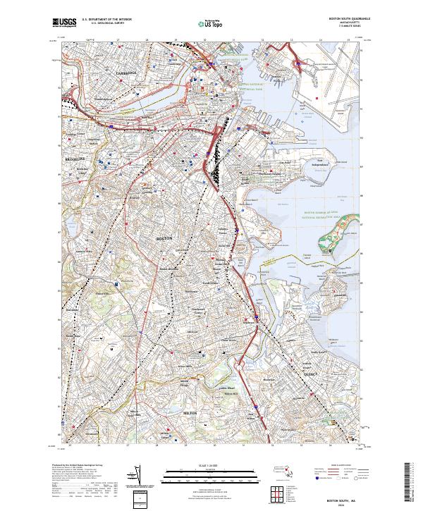
2024 Boston South
Suffolk County, MA
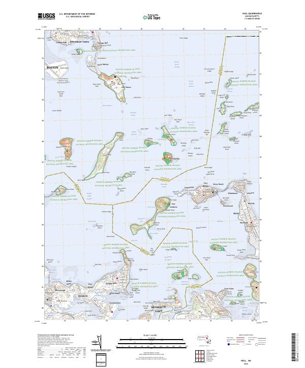
2024 Hull
Suffolk County, MA