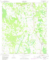
1949 Map of Bostwick
USGS Topo · Published 1980About this map
Simms Creek and Clarkes Creek wind through the wetlands and low-lying pine woods of northern Putnam County in this mid-century topographic record. The settlement of Bostwick serves as the local hub along the Seaboard Coast Line railroad, which runs north-south through the eastern portion of the landscape. This area, updated based on late 1940s field work, shows a rural economy defined by scattered homesteads and small clearings such as Sun Garden and Hancock. The survey identifies local landmarks like De Coy Ch and highlights the border between Clay Co and Putnam Co. The map captures the region's character just as modern infrastructure began to overlay the traditional agricultural and rail-dependent landscape of the Florida interior.
Find a feature on this map
9 named features on this map. Tap any name to fly to it.
Don’t see what you’re looking for? This feature index may not catch every label — zoom into the map to look around manually.
Map Details
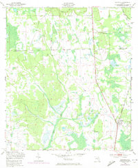
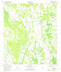
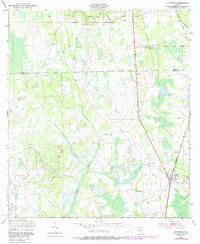
Editions of this 1949 Bostwick Map
5 editions found
Other maps of this area

1912 · Palatka
USGS Topo · 1:48,000

1915 · Palatka
USGS Topo · 1:62,500

1915 · Interlachen
USGS Topo · 1:48,000

1916 · Interlachen
USGS Topo · 1:62,500

1942 · Ates Creek
USGS Topo · 1:62,500

1944 · Interlachen
USGS Topo · 1:62,500

1947 · Bostwick
USGS Topo · 1:50,000

1949 · Rice Creek
USGS Topo · 1:24,000

1949 · Bostwick
USGS Topo · 1:24,000

1949 · Green Cove Springs
USGS Topo · 1:24,000