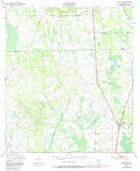
1949 Map of Bostwick
USGS Topo · Published 1987About this map
Bostwick serves as the primary hub of this North Florida landscape, situated where the Seaboard Coast Line railroad cuts through the pines and lowlands of eastern Putnam County. The terrain is defined by the slow drainage of Simms Creek and Clarkes Creek, which wind through the wetland systems typical of the region. This 1949 survey, with later revisions, shows the transition of transportation in the area, noting an Old Railroad Grade that indicates a shift in the local timber or transit infrastructure. Small settlements and community landmarks like Sun Garden, Hancock, and the De Coy Ch church appear as nodes of rural life along the county line shared with Clay County. The map provides a clear view of the mid-century road network and small-town footprints before modern residential expansion altered the character of these rural Florida outposts.
Find a feature on this map
9 named features on this map. Tap any name to fly to it.
Don’t see what you’re looking for? This feature index may not catch every label — zoom into the map to look around manually.
Map Details
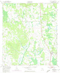
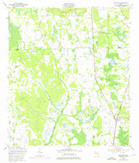
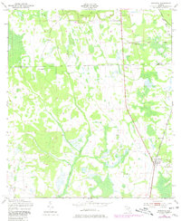
Editions of this 1949 Bostwick Map
5 editions found
Other maps of this area

1912 · Palatka
USGS Topo · 1:48,000

1915 · Palatka
USGS Topo · 1:62,500

1915 · Interlachen
USGS Topo · 1:48,000

1916 · Interlachen
USGS Topo · 1:62,500

1942 · Ates Creek
USGS Topo · 1:62,500

1944 · Interlachen
USGS Topo · 1:62,500

1947 · Bostwick
USGS Topo · 1:50,000

1949 · Rice Creek
USGS Topo · 1:24,000

1949 · Bostwick
USGS Topo · 1:24,000

1949 · Green Cove Springs
USGS Topo · 1:24,000