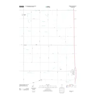
2013 Map of Boswell
USGS Topo · Published 2013About this map
Boswell and its grid of village streets anchor the southeastern corner of this landscape, where the town plan includes routes like W Mauzy St and S Clinton St. The surrounding Benton County terrain is defined by a comprehensive network of agricultural drainage, evidenced by features such as Kult Ditch, Leuck Ditch, and Gillen Ditch, which channel water toward the North Fork Vermilion River. Small rural clusters and junctions appear throughout the grid, including Dunnington, Talbot, and Freeland Park. The presence of the Clifton Airport north of Boswell and the crossing of S Old US Hwy 41 reflect the modern transportation infrastructure integrated into this traditional prairie farming region. These drainage ditches and road alignments illustrate the methodical engineering of the Indiana landscape to support large-scale agriculture.
Find a feature on this map
37 named features on this map. Tap any name to fly to it.
Don’t see what you’re looking for? This feature index may not catch every label — zoom into the map to look around manually.
Map Details
Editions of this 2013 Boswell Map
This is the sole edition of this map. No revisions or reprints were ever made.
Other maps of this area

1933 · Hoopeston
USGS Topo · 1:48,000

1938 · Milford
USGS Topo · 1:48,000

1938 · Hoopeston
USGS Topo · 1:62,500

1944 · Milford
USGS Topo · 1:62,500

1953 · Danville
USGS Topo · 1:250,000

1955 · Danville
USGS Topo · 1:250,000

1956 · Danville
USGS Topo · 1:250,000

1961 · Tab
USGS Topo · 1:24,000

1961 · Pine Village
USGS Topo · 1:24,000

1962 · Wadena
USGS Topo · 1:24,000