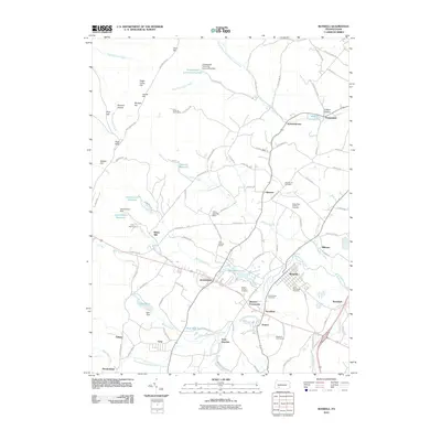
2010 Map of Boswell
USGS Topo · Published 2010About this map
Boswell and Jennerstown anchor this topographic view of Somerset County, where the landscape is defined by the convergence of Quemahoning Creek and its various tributaries. The region reflects a mix of small-town settlement and industrial heritage, with smaller communities like Forwardstown, Gray, and Coal Junction scattered among the hills. Local landmarks such as Klines Mill and the Lohrs Landing Strip highlight the area's rural infrastructure, while numerous religious sites including Saint Stanislaus Cemetery and Mount Carmel Cemetery provide important points of reference for genealogical research. Water management is prominent throughout the terrain, visible through the Conemaugh Township Reservoir, Jennerstown Reservoir, and Stoughton Lake. To the west, the elevations of Laurel Hill and Pine Hill overlook the valleys, separated by local features like Bearpen Hollow and Mystery Hill.
Find a feature on this map
114 named features on this map. Tap any name to fly to it.
Don’t see what you’re looking for? This feature index may not catch every label — zoom into the map to look around manually.
Map Details
Editions of this 2010 Boswell Map
This is the sole edition of this map. No revisions or reprints were ever made.
Other maps of this area

1904 · Johnstown
USGS Topo · 1:62,500

1907 · Johnstown
USGS Topo · 1:62,500

1913 · Somerset
USGS Topo · 1:62,500

1914 · Windber
USGS Topo · 1:62,500

1915 · Somerset
USGS Topo · 1:62,500

1916 · Windber
USGS Topo · 1:62,500

1920 · New Florence
USGS Topo · 1:62,500

1921 · New Florence
USGS Topo · 1:48,000

1922 · New Florence
USGS Topo · 1:62,500

1944 · Somerset
USGS Topo · 1:62,500