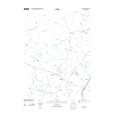
2013 Map of Boswell
USGS Topo · Published 2013About this map
Boswell serves as a primary population center in this part of Somerset County, positioned near the confluence of Quemahoning Cr and its northern branches. The landscape is defined by its industrial and recreational history, shown through the presence of Coal Junction and several prominent reservoirs, including the Conemaugh Township Reservoir, Jennerstown Reservoir, and Boswell Reservoir. The map illustrates a transition from the dense street grids of settlements like Jennerstown and Jenners to the more dispersed highland areas such as Laurel Hill and Sugar Camp Hill. Small-scale processing and transport nodes like Klines Mill and Morgans Mills dot the waterways, while the Lincoln Hwy and Million Dollar Hwy provide the primary arterial connections through the central and southern reaches of the quadrangle.
Find a feature on this map
129 named features on this map. Tap any name to fly to it.
Don’t see what you’re looking for? This feature index may not catch every label — zoom into the map to look around manually.
Map Details
Editions of this 2013 Boswell Map
This is the sole edition of this map. No revisions or reprints were ever made.
Other maps of this area

1904 · Johnstown
USGS Topo · 1:62,500

1907 · Johnstown
USGS Topo · 1:62,500

1913 · Somerset
USGS Topo · 1:62,500

1914 · Windber
USGS Topo · 1:62,500

1915 · Somerset
USGS Topo · 1:62,500

1916 · Windber
USGS Topo · 1:62,500

1920 · New Florence
USGS Topo · 1:62,500

1921 · New Florence
USGS Topo · 1:48,000

1922 · New Florence
USGS Topo · 1:62,500

1944 · Somerset
USGS Topo · 1:62,500