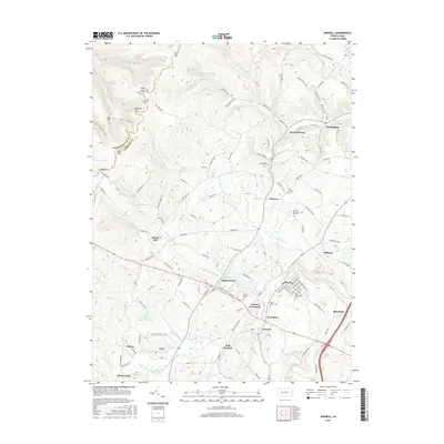
2016 Map of Boswell
USGS Topo · Published 2016About this map
Boswell and its neighboring villages in Somerset County are defined by a complex network of creeks and coal-era settlements. The landscape is carved by the Quemahoning Creek and its many tributaries, including Beaverdam Cr and Twomile Run. The area's cultural history is anchored by numerous cemeteries, such as Saints Peter and Paul Cem and Saint Stanislaus Cem, which suggest the ethnic and religious diversity of the mining communities that once thrived here.
Find a feature on this map
131 named features on this map. Tap any name to fly to it.
Don’t see what you’re looking for? This feature index may not catch every label — zoom into the map to look around manually.
Map Details
Editions of this 2016 Boswell Map
This is the sole edition of this map. No revisions or reprints were ever made.
Other maps of this area

1904 · Johnstown
USGS Topo · 1:62,500

1907 · Johnstown
USGS Topo · 1:62,500

1913 · Somerset
USGS Topo · 1:62,500

1914 · Windber
USGS Topo · 1:62,500

1915 · Somerset
USGS Topo · 1:62,500

1916 · Windber
USGS Topo · 1:62,500

1920 · New Florence
USGS Topo · 1:62,500

1921 · New Florence
USGS Topo · 1:48,000

1922 · New Florence
USGS Topo · 1:62,500

1944 · Somerset
USGS Topo · 1:62,500