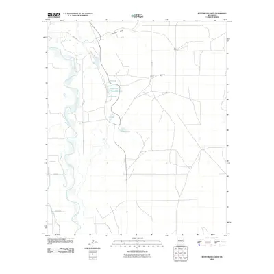
2010 Map of Bottomless Lakes
USGS Topo · Published 2010About this map
Bottomless Lakes chain sits along the eastern bluffs of the Pecos valley, forming a series of distinctive water bodies including Cottonwood Lake, Mirror Lake, Inkwell Lake, and Figure Eight Lake. The hydrology of this Chaves County landscape is defined by the meandering course of the Pecos River to the west and the engineered path of the Hagerman Canal further south. This 2010 survey illustrates the transition from the river bottomlands to the higher desert plateau, where local landmarks like Ervin Ranch, Atkinson Ranch, and Greenwood Ranch anchor the rural infrastructure. The presence of Lea Lake and Dimmitt Lake highlights the concentrated cluster of sinkhole lakes that make this area unique, while Comanche Draw marks a significant drainage path in the northern portion of the quadrangle.
Find a feature on this map
25 named features on this map. Tap any name to fly to it.
Don’t see what you’re looking for? This feature index may not catch every label — zoom into the map to look around manually.
Map Details
Editions of this 2010 Bottomless Lakes Map
This is the sole edition of this map. No revisions or reprints were ever made.
Other maps of this area

1949 · Wade Ranch
USGS Topo · 1:24,000

1949 · L-E Ranch
USGS Topo · 1:24,000

1950 · Dexter West
USGS Topo · 1:24,000

1950 · Comanche Spring
USGS Topo · 1:24,000

1950 · Bottomless Lakes
USGS Topo · 1:24,000

1950 · South Spring
USGS Topo · 1:24,000

1950 · Bitter Lake
USGS Topo · 1:24,000

1950 · Dexter East
USGS Topo · 1:24,000

1952 · Bar C Bar Ranch
USGS Topo · 1:24,000

1955 · Roswell
USGS Topo · 1:250,000