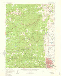
1957 Map of Boulder
USGS Topo · Published 1960About this map
The front range of the Rocky Mountains meets the high plains at Boulder and Lyons, where a complex network of mining camps and mountain settlements dot the landscape. This 1957 survey captures the area before modern suburban expansion, highlighting the early layout of the Univ of Colo campus and the industrial traces of the gold rush. Small, high-altitude communities like Gold Hill, Jamestown, and Salina are connected by winding roads through Fourmile Canyon and along James Creek. Local institutions, from the Bunce School to the Sunshine Church Camp, serve the isolated valleys and gulches that characterize the terrain of the Roosevelt National Forest. Geologists and historians can trace the numerous mine dumps and specialized sites like the Smelter near the eastern plains, reflecting the mineral-driven economy that first drew settlers to the canyons of Fourmile Creek and Lefthand Creek.
Find a feature on this map
131 named features on this map. Tap any name to fly to it.
Don’t see what you’re looking for? This feature index may not catch every label — zoom into the map to look around manually.
Map Details
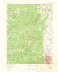
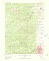
Editions of this 1957 Boulder Map
3 editions found
Other maps of this area

1899 · West Denver
USGS Topo · 1:125,000

1902 · Boulder
USGS Topo · 1:62,500

1904 · Niwot
USGS Topo · 1:62,500

1904 · Boulder
USGS Topo · 1:62,500

1905 · Central City
USGS Topo · 1:62,500

1905 · Mount Olympus
USGS Topo · 1:62,500

1906 · Blackhawk
USGS Topo · 1:62,500

1906 · Loveland
USGS Topo · 1:62,500

1907 · Mount Olympus
USGS Topo · 1:62,500

1908 · Loveland
USGS Topo · 1:62,500