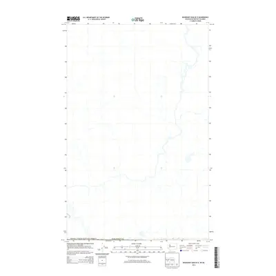
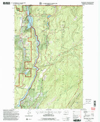
2014 Map of Boundary Dam OE N
USGS Topo · Published 2014About this map
The international border between the Canada / United States of America defines the southern edge of this 2014 survey. This map covers a transition zone between the northern tip of Pend Oreille Co and the Canadian territory of British Columbia. This edition focuses heavily on the hydrography of the region, detailing the network of tributaries and streams that flow through the drainage basin as it crosses the border. While topography is not shown on this specific sheet, it serves as a specialized hydrographic and road-network record, documenting the local connectors and four-wheel-drive roads that serve this cross-border region before modern landscape shifts.
Find a feature on this map
2 named features on this map. Tap any name to fly to it.
Don’t see what you’re looking for? This feature index may not catch every label — zoom into the map to look around manually.
Map Details
Editions of this 2014 Boundary Dam OE N Map
This is the sole edition of this map. No revisions or reprints were ever made.
Other maps of this area

1934 · Metaline
USGS Topo · 1:125,000

1942 · Metaline
USGS Topo · 1:125,000

1958 · Sandpoint
USGS Topo · 1:250,000

1963 · Sandpoint
USGS Topo · 1:250,000

1967 · Gypsy Peak
USGS Topo · 1:24,000

1967 · Boundary Dam
USGS Topo · 1:24,000
1967 · Abercrombie Mtn
USGS Topo · 1:24,000
1984 · Colville
USGS Topo · 1:100,000
1992 · Gypsy Peak
USGS Topo · 1:24,000
1992 · Boundary Dam
USGS Topo · 1:24,000