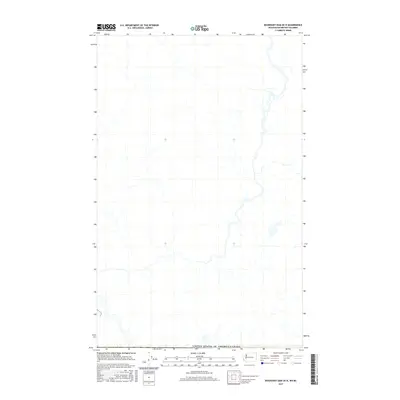
2017 Map of Boundary Dam OE N
USGS Topo · Published 2017About this map
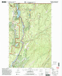
The international border between the United States of America and Canada defines the southern edge of this landscape in the Salmo Valley region. This 2017 survey details a remote drainage network where numerous unlabeled creeks and seasonal streams carve through the terrain of British Columbia’s Central Kootenay district. The map illustrates a primarily undeveloped wilderness, dominated by the natural hydrography of the high country north of the Washington state line. While the sheet lacks named settlements or structures, it provides a precise record of the physical geography and watershed patterns in this borderland area during the early 21st century.
Find a feature on this map
1 named feature on this map. Tap any name to fly to it.
Don’t see what you’re looking for? This feature index may not catch every label — zoom into the map to look around manually.
Map Details
Editions of this 2017 Boundary Dam OE N Map
This is the sole edition of this map. No revisions or reprints were ever made.
Other maps of this area

1934 · Metaline
USGS Topo · 1:125,000

1942 · Metaline
USGS Topo · 1:125,000

1958 · Sandpoint
USGS Topo · 1:250,000

1963 · Sandpoint
USGS Topo · 1:250,000

1967 · Gypsy Peak
USGS Topo · 1:24,000

1967 · Boundary Dam
USGS Topo · 1:24,000
1967 · Abercrombie Mtn
USGS Topo · 1:24,000
1984 · Colville
USGS Topo · 1:100,000
1992 · Gypsy Peak
USGS Topo · 1:24,000
1992 · Boundary Dam
USGS Topo · 1:24,000