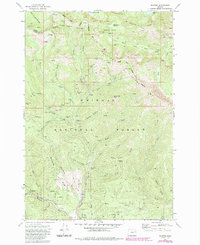
1972 Map of Bourne
USGS Topo · Published 1985About this map
Bourne sits at the heart of this mining-intensive landscape within the Whitman National Forest, where the complex topography of Elkhorn Ridge and Elkhorn Crest is marked by a dense concentration of historical extraction sites. The map records the legacy of the region's gold mining era, particularly along the drainage of Cracker Creek, which is lined with significant dredge tailings leading south toward Sumpter. The distribution of claims like the North Pole Mine, Columbia Mine, and Golconda Mine indicates a high level of activity that once supported the local economy.
Find a feature on this map
60 named features on this map. Tap any name to fly to it.
Don’t see what you’re looking for? This feature index may not catch every label — zoom into the map to look around manually.
Map Details
Editions of this 1972 Bourne Map
3 editions found
Other maps of this area

1901 · Sumpter
USGS Topo · 1:125,000

1955 · Canyon City
USGS Topo · 1:250,000

1959 · Canyon City
USGS Topo · 1:250,000

1961 · Whitney
USGS Topo · 1:24,000
1972 · Elkhorn Peak
USGS Topo · 1:24,000

1972 · Mt. Ireland
USGS Topo · 1:24,000
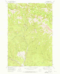
1972 · Bourne
USGS Topo · 1:24,000
1972 · Phillips Lake
USGS Topo · 1:24,000
1972 · Rock Creek
USGS Topo · 1:24,000
1972 · Sumpter
USGS Topo · 1:24,000