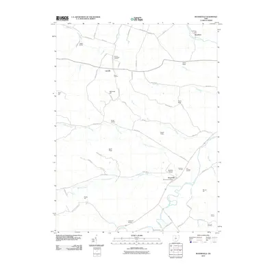
2010 Map of Bourneville
USGS Topo · Published 2010About this map
Bourneville sits at the junction of the Paint Creek valley and Upper Twin Creek, serving as a central hub for this portion of Ross County. The landscape is defined by a series of prominent ridges and hollows, where family-named landmarks like Plyley Ridge, Barger Ridge, and McDonald Hill overlook the winding watercourses. This 2010 survey highlights a significant concentration of burial grounds, providing deep genealogical value with sites such as the Concord Presbyterian Cemetery, Sheron Cemetery, and the Twin Township Cemetery located near the village center. The road network, including names like Jones Levee RD and California Hollow RD, follows the natural contours of the land, reflecting a persistent rural settlement pattern where smaller communities like Lattaville and Musselman maintain their identity through local post offices and namesake landmarks.
Find a feature on this map
69 named features on this map. Tap any name to fly to it.
Don’t see what you’re looking for? This feature index may not catch every label — zoom into the map to look around manually.
Map Details
Editions of this 2010 Bourneville Map
This is the sole edition of this map. No revisions or reprints were ever made.
Other maps of this area

1912 · Roxabell
USGS Topo · 1:62,500

1914 · Roxabell
USGS Topo · 1:62,500

1915 · Bainbridge
USGS Topo · 1:48,000

1915 · Piketon
USGS Topo · 1:62,500

1917 · Bainbridge
USGS Topo · 1:62,500

1917 · Piketon
USGS Topo · 1:62,500

1917 · Greenfield
USGS Topo · 1:62,500

1944 · Piketon
USGS Topo · 1:62,500

1944 · Greenfield
USGS Topo · 1:62,500

1944 · Roxabell
USGS Topo · 1:62,500