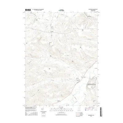
2016 Map of Bourneville
USGS Topo · Published 2016About this map
Hopewell Culture National Historical Park preserves an ancient ceremonial landscape along the bends of Paint Creek. This Ross County terrain is defined by a dense network of ridges and hollows, including Plyley Ridge and California Hollow, where small settlements like Lattaville and Bourneville provide central points for local commerce and community life. Genealogists can find numerous burial grounds across the township, such as the Concord Presbyterian Cem and Speakman Cem. The map illustrates the hydrological patterns of the region, from the North Fork Paint Creek to the smaller drainage of Latta Run and Cattail Run. These waterways carved the deep valleys and elevated ridges like Spruce Hill and Barger Ridge, shaping the agricultural and residential development of southern Ohio during the 21st century.
Find a feature on this map
70 named features on this map. Tap any name to fly to it.
Don’t see what you’re looking for? This feature index may not catch every label — zoom into the map to look around manually.
Map Details
Editions of this 2016 Bourneville Map
This is the sole edition of this map. No revisions or reprints were ever made.
Other maps of this area

1912 · Roxabell
USGS Topo · 1:62,500

1914 · Roxabell
USGS Topo · 1:62,500

1915 · Bainbridge
USGS Topo · 1:48,000

1915 · Piketon
USGS Topo · 1:62,500

1917 · Bainbridge
USGS Topo · 1:62,500

1917 · Piketon
USGS Topo · 1:62,500

1917 · Greenfield
USGS Topo · 1:62,500

1944 · Piketon
USGS Topo · 1:62,500

1944 · Greenfield
USGS Topo · 1:62,500

1944 · Roxabell
USGS Topo · 1:62,500