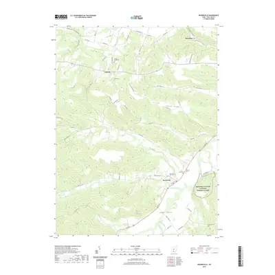
2019 Map of Bourneville
USGS Topo · Published 2019About this map
Hopewell Culture National Historical Park preserves a significant landscape of earthworks and ancient history on the eastern edge of this quadrangle, situated along the fertile Paint Valley. The village of Bourneville serves as the local hub near the confluence of Upper Twin Cr and Paint Creek, where multiple local cemeteries including Twin Township Cem and Speakman Cem record the lineage of Ross County families.
Find a feature on this map
64 named features on this map. Tap any name to fly to it.
Don’t see what you’re looking for? This feature index may not catch every label — zoom into the map to look around manually.
Map Details
Editions of this 2019 Bourneville Map
This is the sole edition of this map. No revisions or reprints were ever made.
Other maps of this area

1912 · Roxabell
USGS Topo · 1:62,500

1914 · Roxabell
USGS Topo · 1:62,500

1915 · Bainbridge
USGS Topo · 1:48,000

1915 · Piketon
USGS Topo · 1:62,500

1917 · Bainbridge
USGS Topo · 1:62,500

1917 · Piketon
USGS Topo · 1:62,500

1917 · Greenfield
USGS Topo · 1:62,500

1944 · Piketon
USGS Topo · 1:62,500

1944 · Greenfield
USGS Topo · 1:62,500

1944 · Roxabell
USGS Topo · 1:62,500