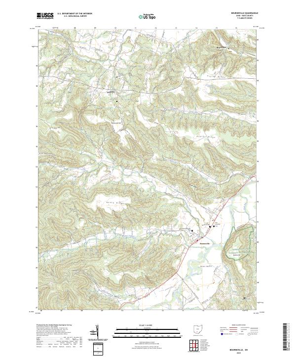
2023 Map of Bourneville
USGS Topo · Published 2023About this map
Bourneville sits at the heart of this Ross County landscape, where the valley floor of Paint Creek meets a complex network of ridges and hollows. The settlement pattern follows the high ground and creek beds, with Lattaville and Musselman serving as notable anchors for local history and genealogy. A significant cultural landmark, the Hopewell Culture National Historical Park Spruce Hill, preserves ancient earthworks on a prominent rise overlooking the Paint Valley.
Find a feature on this map
72 named features on this map. Tap any name to fly to it.
Don’t see what you’re looking for? This feature index may not catch every label — zoom into the map to look around manually.
Map Details
Editions of this 2023 Bourneville Map
This is the sole edition of this map. No revisions or reprints were ever made.
Other maps of this area
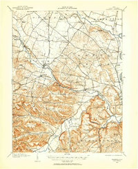
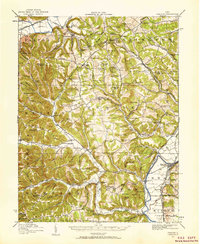
1912 · Roxabell
USGS Topo · 1:62,500
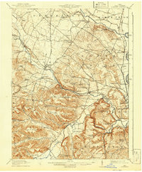
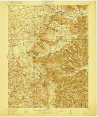
1914 · Roxabell
USGS Topo · 1:62,500
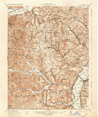
1915 · Bainbridge
USGS Topo · 1:48,000
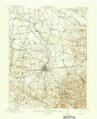
1915 · Piketon
USGS Topo · 1:62,500
1917 · Bainbridge
USGS Topo · 1:62,500
1917 · Piketon
USGS Topo · 1:62,500
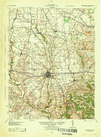
1917 · Greenfield
USGS Topo · 1:62,500
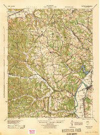
1944 · Piketon
USGS Topo · 1:62,500
1944 · Greenfield
USGS Topo · 1:62,500
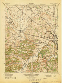
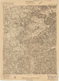
1944 · Roxabell
USGS Topo · 1:62,500