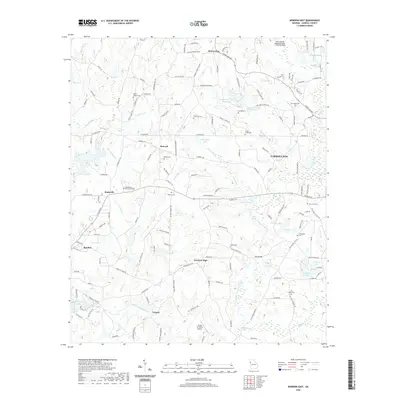
2020 Map of Bowdon East
USGS Topo · Published 2020About this map
Mount Zion and the western outskirts of Carrollton anchor this portrait of Carroll County, where the agricultural traditions of Farmers High and Victory meet modern regional infrastructure. The landscape is defined by the winding course of the Little Tallapoosa River and its numerous tributaries, including Turkey Cr and Garrett Cr. These waterways historically dictated the placement of small rural centers like Burwell and Jonesville, which remain connected by a dense network of country roads such as Lovvorn Rd and Mount Zion Rd.
Find a feature on this map
160 named features on this map. Tap any name to fly to it.
Don’t see what you’re looking for? This feature index may not catch every label — zoom into the map to look around manually.
Map Details
Editions of this 2020 Bowdon East Map
This is the sole edition of this map. No revisions or reprints were ever made.
Other maps of this area

1889 · Tallapoosa
USGS Topo · 1:125,000

1892 · Tallapoosa
USGS Topo · 1:125,000

1897 · Tallapoosa
USGS Topo · 1:125,000

1899 · Wedowee
USGS Topo · 1:125,000

1902 · Wedowee
USGS Topo · 1:125,000

1953 · Atlanta
USGS Topo · 1:250,000

1957 · Atlanta
USGS Topo · 1:250,000

1958 · Atlanta
USGS Topo · 1:250,000

1958 · Carrollton
USGS Topo · 1:62,500

1964 · Roopville
USGS Topo · 1:24,000